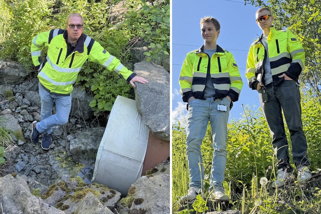
Far into the green landscape along the Dovre Line, water trickles through a stream below the railway line. The birdsong is interrupted by a train passing in the distance. Around us, the vegetation is dense after a summer with a lot of rainfall.
Follow the water to understand the risk
Here, one of Bane NOR’s hydrologists, Geir Vatne, stops at what at first glance looks like a completely ordinary culvert. For him, this is one of many points that tell the story of how water moves through the landscape and how changes can have major consequences for the railway.
A little to the side of the drain is what he actually wants to show off: a new monitoring station.
Various sensors continuously monitor water levels and precipitation. If there is a lot of precipitation, or the water level rises quickly, a camera takes a picture. Together with the measurement data, they are sent to a cloud solution. There, the information becomes available to operating personnel and hydrologists. This can provide crucial knowledge when the rain really starts.
Get to see the knowledge in use
Standing next to him are summer students Jarne Kristoffer Andersen-Nerby and Håkon Fodstad Bredesen. For them, this is a concrete meeting between what they learn at NTNU and the challenges the railway faces in the real world.
– I think this is a very meaningful job. We get to help make the railway better equipped against natural hazards, says Jarne.
– We want to work with societal safety and issues that are important to many people. Here we get to see how the knowledge is actually used in practice, says Håkon.
When the water warns
Geir demonstrates how the monitoring station works.
A solar- and battery-powered water level sensor, together with a camera, monitors conditions in the culvert and sends images and measurement data directly to the professional community if water levels increase significantly.
“When the cistern is 60 percent full, an alarm goes off and the station starts sending data more frequently. We can then monitor the situation and assess what measures may be necessary,” says Vatne.
The solution makes it possible to follow developments without necessarily sending personnel out into demanding weather conditions.
– Now we receive information via images and measurement values directly into the office and can make assessments from there, he says.
[The case continues below.]

Hydrologist Geir Vatne installs a measuring station at an old stone pit (sluice gate) on Bolstadøyri along the Bergen Railway.
Foto:
Bane Nor.
From measurementto theduckling
The data is not only used when extreme weather occurs. The information provides a better basis for emergency preparedness, maintenance and future investments in drainage systems along the railway.
– We use the data to see the connection between rainfall and water flow in the culverts. This way we can improve our flood calculations and better dimension new culverts under the track, explains Vatne.
At the same time, the data provides a new basis for learning, both for experienced professionals and for the students who will pass on the knowledge.
Knowledge in both directions
For Jarne and Håkon, the summer is about gaining experience that is difficult to gain from the lecture hall alone, while also bringing new knowledge from the university into their daily work.
– You get much more practical experience than you can get through studying alone, says Håkon.
For Geir Vatne, the trips into the terrain are an important part of the collaboration with the summer students. The fieldwork becomes an arena for both learning and innovation.
– When students and experienced professionals work together in the field, new questions, new perspectives and new ways of understanding the challenges arise, says the hydrologist.
The collaboration goes both ways. The students contribute new perspectives and the latest knowledge from the university, while Geir shares experiences from many years of hydrology and natural hazard work along the railway.
This is how the expertise is built that will help make the railway safer and more robust in the face of the future climate. Even if the stream flows peacefully through the culvert now, Geir knows that the situation can be completely different when heavy rains fill the catchment area in a few hours.
Facts: How monitoring stations work
- Cameras and sensors monitor water levels and rainfall at culverts along the railway.
- When the water level reaches a predefined level, an alarm is sent.
- The data is used for emergency preparedness, maintenance and flood calculations.
- The stations provide information without having to send personnel out during extreme weather.
- In Trøndelag, approximately 40 to 45 such measuring stations have been established as part of the pilot work.
Do you want to know more?
In this film, hydrologist Geir Vatne provides a more detailed insight into how the monitoring solution works.
Written by
- Marianne Henriksen
Published:
Source: Bane NOR